Balboa PABLB Details, Port of Balboa in Panama
Balboa Port Information
 Balboa
 |
||
| UN/LOCODE | : | PABLB |
| Country | : | Panama |
| Port Location | : | Panama, Provincia de Panama |
| Harbor Size | : | Medium |
| Harbor Type | : | Canal or Lake |
| Harbor Use | : | Unknown |
| World Water Body | : | Gulf of Panama, North Pacific Ocean |
| Anchorage Depth (m) | : | 11.0 |
| Cargo Pier Depth (m) | : | 15.5 |
| Oil Terminal Depth | : | 9.4 |
| Channel Depth (m) | : | 12.5 |
| Tidal Range (m) | : | 5.0 |
| Entrance Width (m) | : | 182.9 |
| GPS Coordinates | : | Latitude: N 8° 56' 60'' (8.95) Longitude: W 79° 34' 0'' (-79.566667) |
| Time zone | : | America/Panama |
| Balboa Current Local Time and Date 17 April 2025, 04:33:25 EST | ||
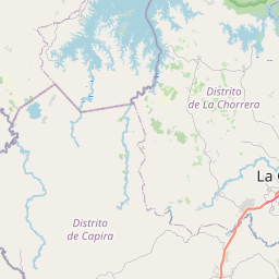
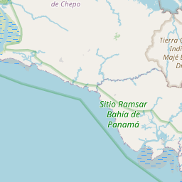
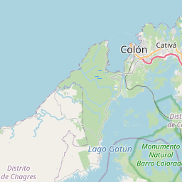
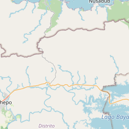
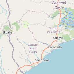
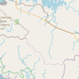
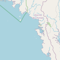
What is the Location of Balboa Port on the Map?
The location of Balboa (PABLB) Port and its location on the map are as follows.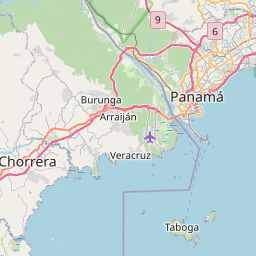


What are the Ships in and around Port Balboa?
By monitoring Balboa Port maritime traffic, you can track all vessels and ships currently passing through or in the area, and you can see how busy Balboa port is right now by viewing the live maritime traffic density map. You can also get information about the ships by clicking on them. You can see which route the ship followed to get here, and you can also see where it will go and follow its route if you wish.With the map above, you can follow real-time ships and boats around Balboa. You can enlarge and reduce the map with the help of (+) and (-) buttons, drag it right or left to see the ship traffic in the desired sea or ocean and follow the traveling ships. If you are wondering about the latest maritime traffic flow around Balboa harbour, you can follow the current situation instantly and live on the map above. In order to learn the information of any ship on the map, click on a ship on the ship tracking map to open the detail window showing the ship's information. If you click on the ship icon, you can get information about the country flag, ship type, status, current speed, route, length and width, tonnage and also the destination port. In general, the types of ships on the map are separated by colors. For example, commercial ship with green color, tanker ship (carrying LNG, LPG, chemicals and crude oil with red), passenger ship with dark blue, speed boat with yellow, Tug with light blue, fishing boat with orange, yacht-style boats with purple and other ship types with gray color. Ships anchored in ports and not moving are also separated by color, but are shown as round circles.
Weather Around Balboa Port
You can access current weather forecast information for Balboa Port and its surroundings.Windy
| Port Name | Distance Mile | Distance Km |
|---|---|---|
| Vacamonte | 8.93 miles | 14.37 Km |
| Bahia De Las Minas | 35.46 miles | 57.07 Km |
| Puerto Colon | 35.99 miles | 57.92 Km |
| Puerto Cristobal | 36.52 miles | 58.78 Km |
| Punta Rincon | 77.48 miles | 124.70 Km |
| Chiriqui Grande | 174.04 miles | 280.09 Km |
| Bocas Del Toro | 183.83 miles | 295.84 Km |
| Almirante | 194.79 miles | 313.49 Km |
| Pedregal | 200.15 miles | 322.12 Km |
| Turbo | 202.65 miles | 326.14 Km |
| Puerto Armuelles | 229.21 miles | 368.88 Km |
| Charco Azul | 231.08 miles | 371.88 Km |
| Puerto Limon | 245.72 miles | 395.45 Km |
| Golfito | 246.78 miles | 397.16 Km |